The ride begins in the historic center of Vermogno, taking a pleasant dirt road that climbs toward Casale Perini and leads to the nearby Fontana Solforosa. From here, the route begins to ascend the moraine ridge to the center of Zubiena, then continues on a dirt road toward Sala Biellese. Along the way, you’ll pass by the Rifugio degli Asinelli, a sanctuary that takes in and cares for dozens of donkeys rescued from situations of abuse.
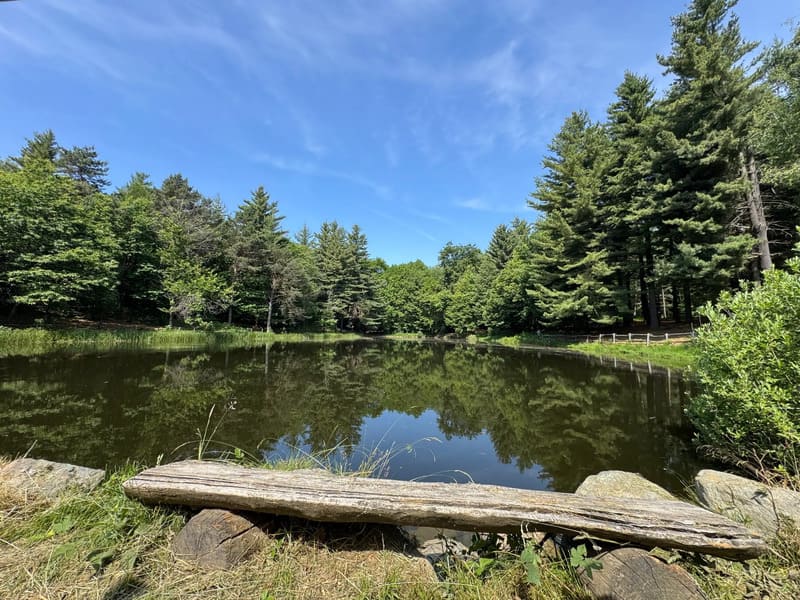
Through an enjoyable series of single-track trails and forest roads, you’ll reach Lake Cossavella, a small body of water hidden among the trees. Once back on the paved road, you’ll climb toward the village of Andrate: situated at an elevation of about 850 meters, it marks the highest point of the route and offers an extraordinary view stretching across the Five Lakes region, the Canavese, and the geometric hills of the Ivrea Morainic Amphitheater.
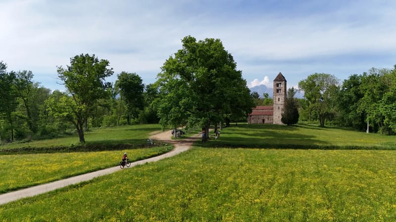
Once you leave the village behind, a long, scenic descent begins toward Chiaverano, where a brief detour allows you to discover the small Romanesque church of Santo Stefano di Sessanio. Amid ups and downs and short, steep stretches, you’ll then come across the evocative Ciucarun (the bell tower of San Martino), which stands alone in the middle of a meadow as the last remnant of a vanished medieval village.
As you continue cycling along the Serra ridge, you enter the territory of Magnano, where the route is rich in history and spirituality. Here you’ll find the splendid medieval Ricetto, a beautifully preserved fortified structure that once protected the harvests and the local population. A short distance further on, the trail passes the Monastery of Bose, an internationally renowned ecumenical community, and the nearby Church of San Secondo, a Romanesque gem nestled in the silence of the fields.
After passing these historic landmarks, the final stretch of the loop gradually descends toward Cerrione, before ending with the return to Vermogno.